Page 1 :
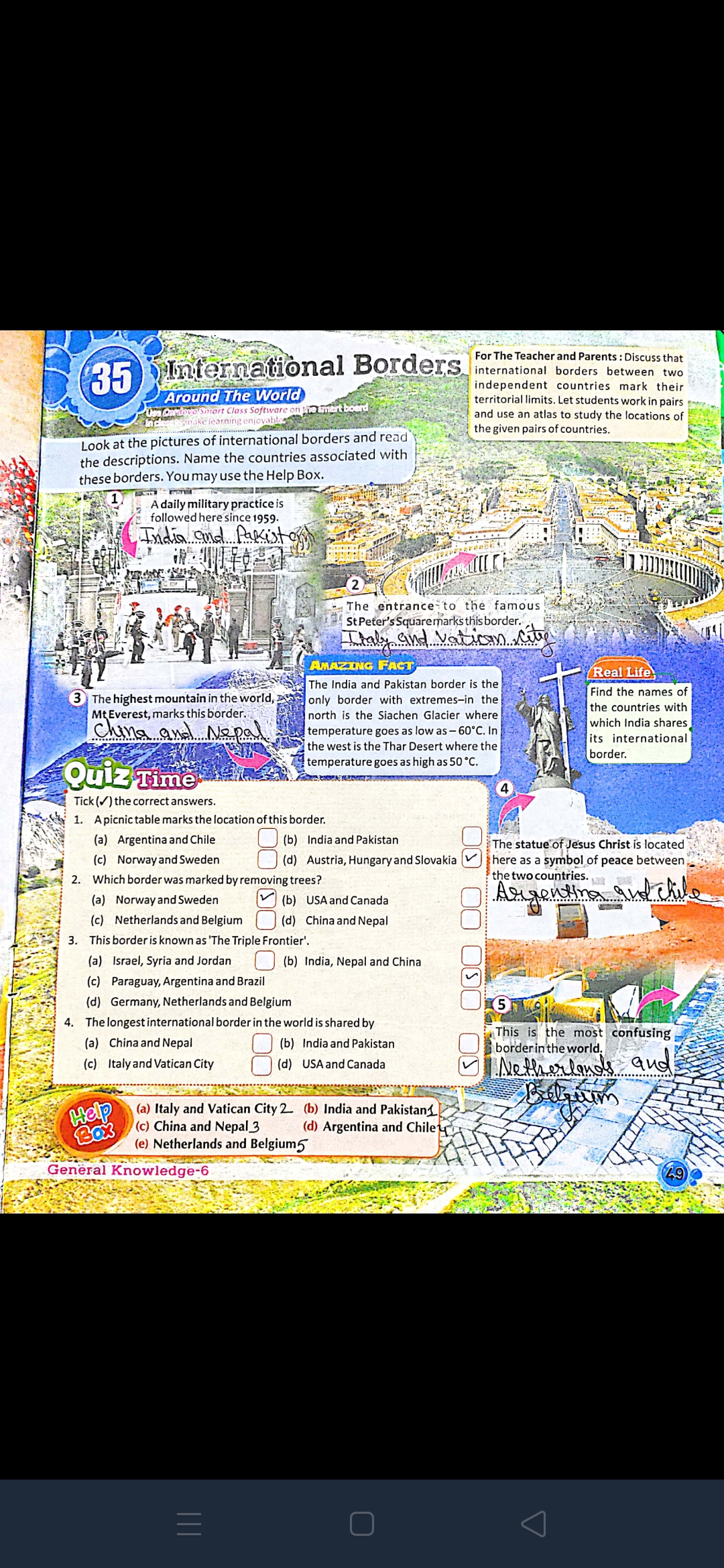
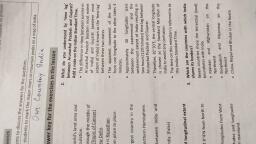
For The Teacher and Parents : Discuss that, international borders between two, {independent countries mark their, territorial limits. Let students workin pairs »-~, .. and use an atlas to study the locations of, — aac { the given pairs of countries., Look at the pictures of international borders and r: ~ TEE, the descriptions. Name the countries associated with I, , ese borders. You may use the Help Box., , AMAZING Facr, The India and Pakistan border is the } *, : [Find the names of, only border with extremes-in the j ies, . ., fs jthe countries with, tie) north is the Siachen Glacier where |< @#f!/" Nein hashes, j ene S J, Mey ana, Ne Pol... 238k temperature goes as low as — 60°C. In| q its. international, t the west is the Thar Desert where the liericg, , temperature goes as high as 50“, , 3) The highest mountain in the world,, Mtverest, marks this border., , Tick (W) the correct answers., , 1. Apicnictable marks the location of this border. od, {_) (b) India and Pakistan (_) ithe statue‘oF Jesus Christ is located, , (c) Norwayand Sweden (_} (a) Austria, Hungary and Slovakia (~~) }here as a symbol of peace between, i i the twocountries., Which border was marked by removing trees? ‘wo countries. hy |, Wires Ms, sys, , (a) Norway and Sweden 7) (b) USAand Canada, (c) NetherlandsandBelgium (_) (d) ChinaandNepal =, , This border is known as The Triple Frontier’., () () India, Nepal and China, , (a) Argentina and Chile, , (a) Israel, Syria and Jordan, (c) Paraguay, Argentina and Brazil, (d) Germany, Netherlands and Belgium, The longest international border in the world is shared by a —, pts iw This is the most con, , {_) (b) Indiaand Pakistan le) borderin'the world,, (_) (d) USAand Canada MAN, Rs EME, 2 (b) India and Pakistan4 |, , (d) Argentina and Chile’, , (a) Chinaand Nepal, (c)_Italyand Vatican City, , (a) Italy, (©) China and Nepal 3, (e) Netherlands and Belgium5
